|
| *****SWAAG_ID***** | 44 |
| Date Entered | 10/01/2011 |
| Updated on | 30/08/2012 |
| Recorded by | Stephen Eastmead (admin) |
| Category | Vernacular Record |
| Record Type | General HER |
| Site Access | Public Access Land |
| Location | Langthwaite area |
| Civil Parish | Arkengarthdale |
| Brit. National Grid | |
| Record Name | Miner's Graffiti Arkengarthdale |
| Record Description | Late 1980's photographs submitted by Jocelyn Campbell.
For more information see record 216
|
| Image 1 ID | 66 Click image to enlarge |
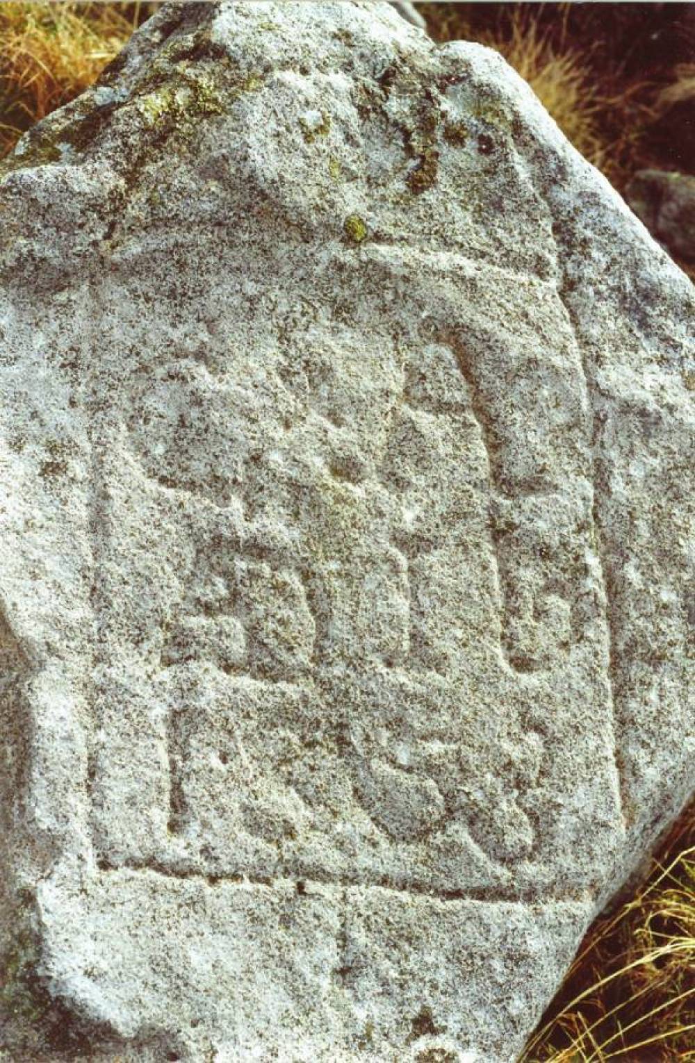
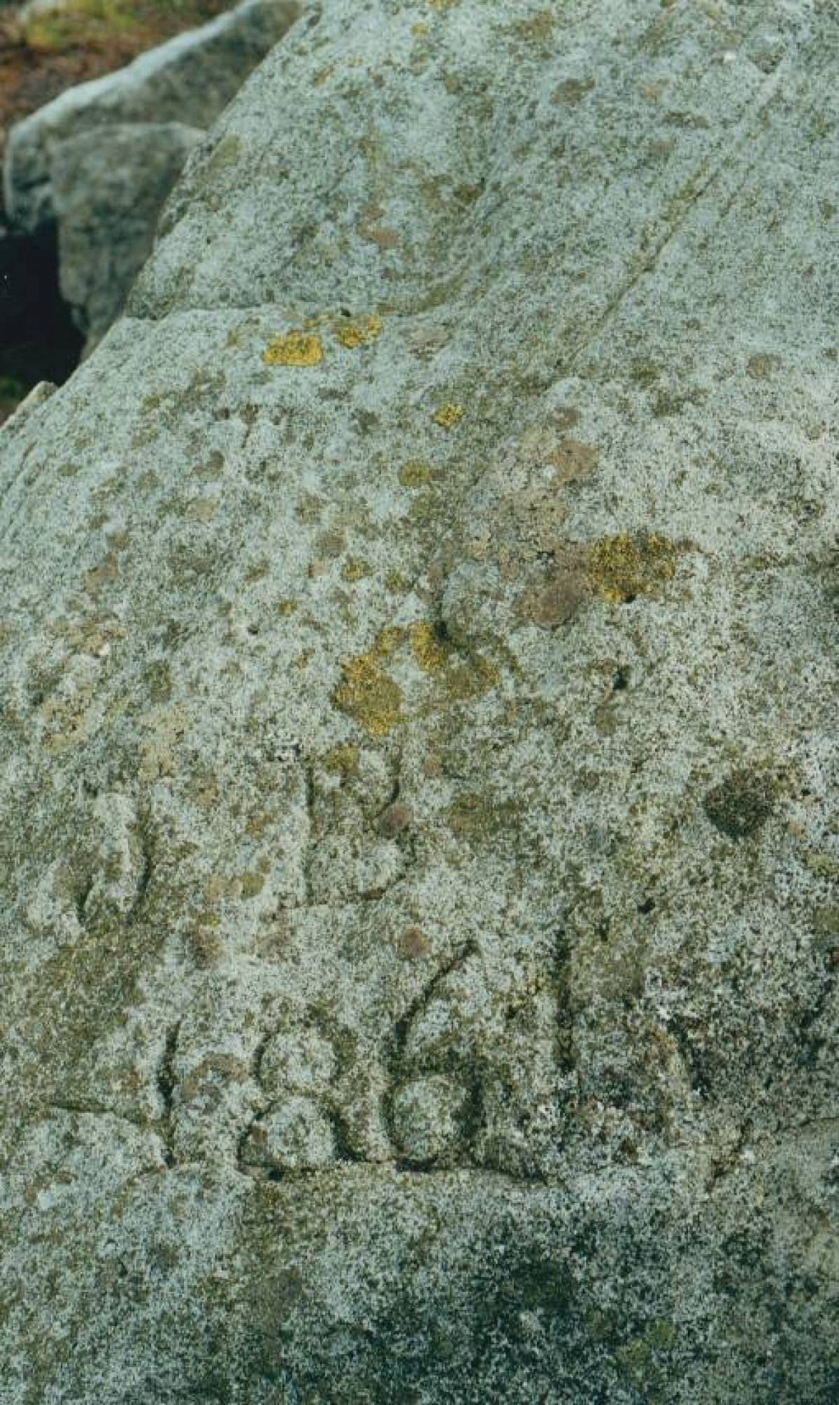
| Image 1 Description | Moulds Top/ Hungry Hushes | 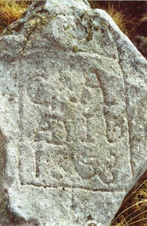 |
| Image 2 ID | 67 Click image to enlarge |
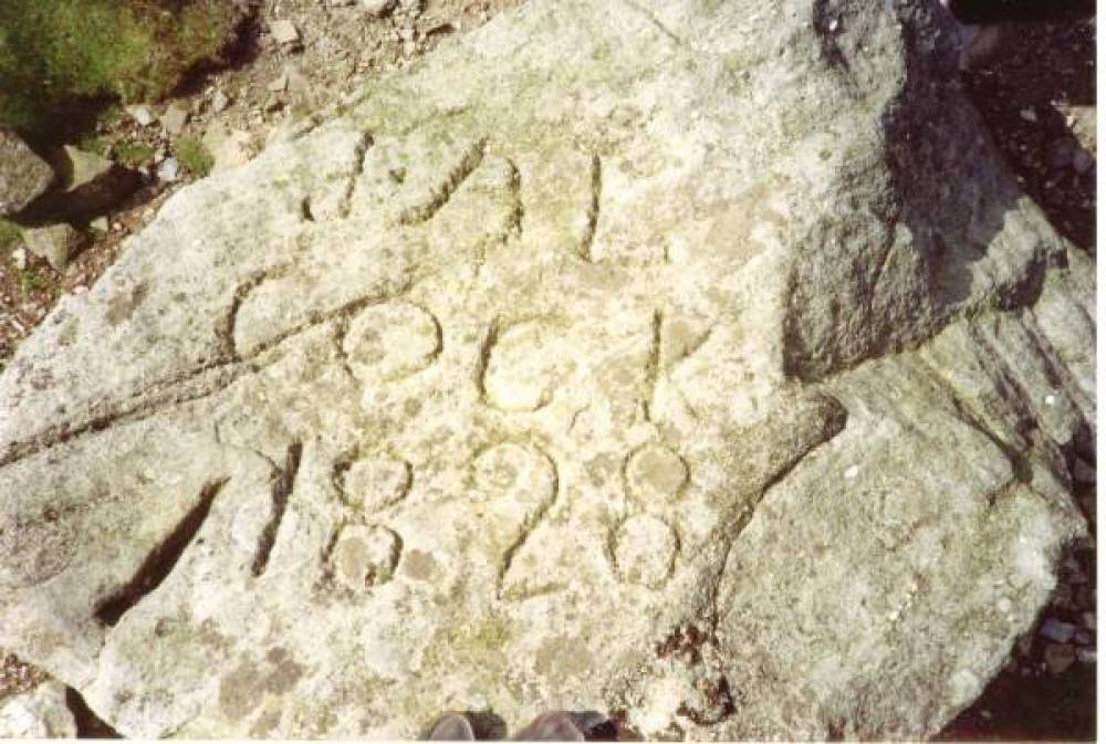
| Image 2 Description | Moulds Top/ Hungry Hushes |  |
| Image 3 ID | 68 Click image to enlarge |
| Image 3 Description | Moulds Top/ Hungry Hushes | 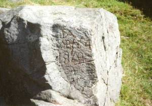 |
| Image 4 ID | 69 Click image to enlarge |
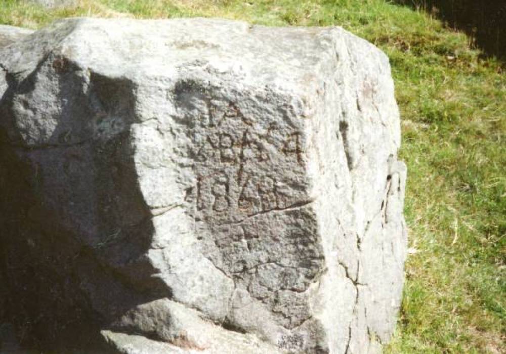
| Image 4 Description | Sleigill beside the footpath | 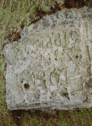 |
| Image 5 ID | 70 Click image to enlarge |
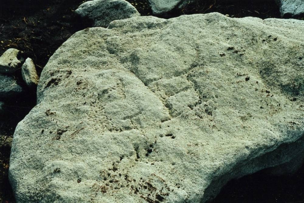
| Image 5 Description | Moulds Top/ Hungry Hushes | 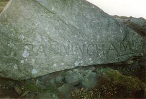 |
| Image 6 ID | 544 Click image to enlarge |
| Image 6 Description | Moulds Top/ Hungry Hushes | 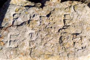 |
| Image 7 ID | 545 Click image to enlarge |
| Image 7 Description | Near Eskelith |  |
| Image 8 ID | 3266 Click image to enlarge |
| Image 8 Description | |  |